
OSIRIS-APEX contains four instruments originally designed to explore asteroid Bennu, each of which provides important information for the mission. These instruments will now be used to explore the surface of asteroid Apophis. This suite of instruments is used for remote sensing or scanning the surface of the asteroid. These will map Bennu and establish what makes up the asteroid, including the distribution of elements, minerals and organic material.
The OSIRIS Camera Suite (OCAMS) consists of three cameras: PolyCam, MapCam, and SamCam. These cameras will “see” asteroid Apophis as the spacecraft first approaches it. OCAMS will also map Apophis's surface. Finally, OCAMS will record the engine firing event near the surface, looking at what lies beneath.
Specifically:
OCAMS was developed by the University of Arizona. The OCAMS team is led by Bashar Rizk (Instrument Scientist, UA), Christian d’Aubigny (Deputy Instrument Scientist, UA), and Chuck Fellows (Instrument Manager, UA).
The OSIRIS Laser Altimeter (OLA) is a scanning LIDAR (Light Detection and Ranging). LIDAR is similar to RADAR, but it uses light instead of radio waves to measure distance. OLA emits laser pulses at the surface of Apophis, which reflect back from the surface and return a portion of the laser pulse to the LIDAR detector. By measuring the time difference between the outgoing pulse and the incoming pulse, the distance between the spacecraft and the surface of Bennu can be computed using the speed of light. This allows OLA to provide high-resolution topographical information about Apophis during the mission. OLA ranging measurements will also support other instruments and navigation and gravity analyses.
OLA is a contributed instrument from the Canadian Space Agency. The OLA science team is an integrated Canada/US team that includes Alan Hildebrand (Canadian PI, University of Calgary), Michael Daly (Canadian Deputy PI and Instrument Scientist, York University), Olivier Barnouin (US Instrument Scientist, Johns Hopkins University/APL), and Beau Bierhaus (US Deputy Instrument Scientist, LM) with support from Canadian instrument developers MDA and Optech.
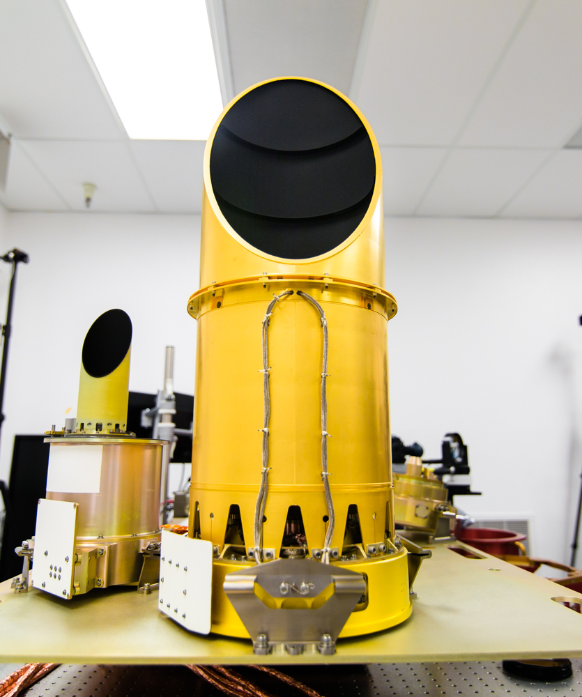
The OSIRIS Thermal Emission Spectrometer (OTES) provides mineral and temperature information by collecting infrared (from 5.71–100 μ m) spectral data from Apophis. In the infrared, most minerals have unique spectral signatures that are like fingerprints. By understanding which minerals correspond to specific spectral signatures, scientists can determine the minerals that are present on the surface of Apophis. Additionally, the emitted heat energy (temperature) at these wavelengths can tell the science team about physical properties of the surface, such as the average particle size. Thermal data from OTES allows scientists to determine the mineral composition and temperature distribution of Apophis for global maps and surface encounter targets.
OTES was developed by Arizona State University. The OTES team is led by Philip Christensen (Instrument Scientist, ASU), Victoria Hamilton (Deputy Instrument Scientist, SwRI), and Greg Mehall (Instrument Manager, ASU).
The OSIRIS Visible and Infrared Spectrometer (OVIRS) measures visible and infrared light from Apophis. OVIRS is sensitive from blue through near-infrared wavelengths, spanning 0.4 to 4.3 microns. OVIRS splits the light received from Apophis into its component wavelengths, much like a prism can split sunlight into a visible rainbow. Since different chemicals have unique spectral signatures, they can be identified this way. OVIRS provides spectral maps that identify mineral and organic material globally and of the surface encounter location. It also gathers local spectral information of potential surface encounter locations.
OVIRS was developed by NASA’s Goddard Space Flight Center. The OVIRS team is led by Dennis Reuter (Instrument Scientist, GSFC), Amy Simon (Deputy Instrument Scientist, GSFC), and Jason Hair (Instrument Manager, GSFC).
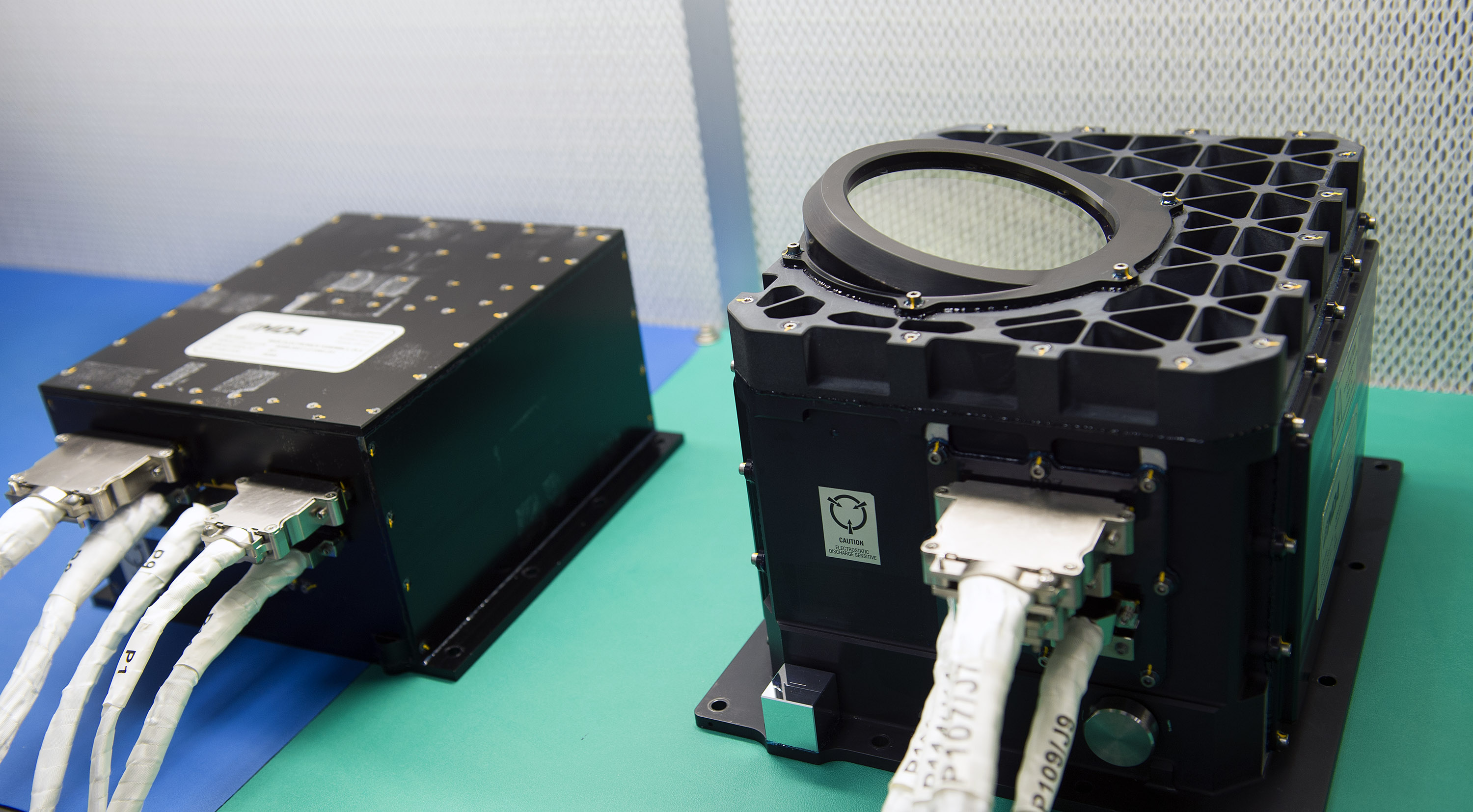
The redundant guidance, navigation, and control (GN&C) LIDAR is able to provide information about the spacecraft’s range to Apophis’s surface during the close encounter with the surface, to ensure that the spacecraft maintains a safe distance from Apophis.
The OSIRIS GN&C Lidar is a 3D Flash LIDAR (Light Detection And Ranging) range camera provided by Advanced Scientific Concepts (ASC). It is capable of capturing a full array of 128×128 independently triggered 3D range pixels with co-registered intensity per frame, and up to 30 frames per second.
Malin Space Science Systems (MSSS) provided a Touch-and-Go Camera System (TAGCAMS), which is part of the guidance, navigation, and control system on OSIRIS-REx. TAGCAMS consists of two redundant Navigation Cameras, or “NavCams,” and the single “StowCam.”